Advanced RF Intelligence for Every Mission
Intelligent Technology for Faster, Smarter
Search & Rescue Operations
X-SAR Terrain
AI-Powered Search & Rescue for Rural & Remote Environments
X-SAR Urban
AI-Powered Search & Rescue for Close-Proximity Operations
Including an Integrated Platform with an Intelligent Command & Oversight Dashboard
Compatible with Any SAR Drone / UAV
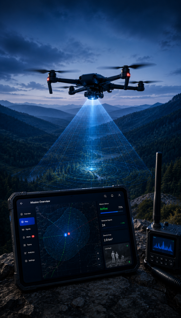
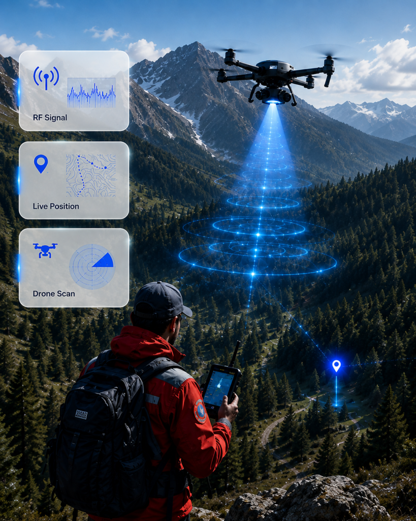
The X·SAR Technology transforms SAR Drones / UAVs into AI-powered RF Search Platforms, reducing blind spots and enabling detection beyond visual search. Includes a complete Drone Operator Command Dashboard.
Available for Field Searcher Handsets
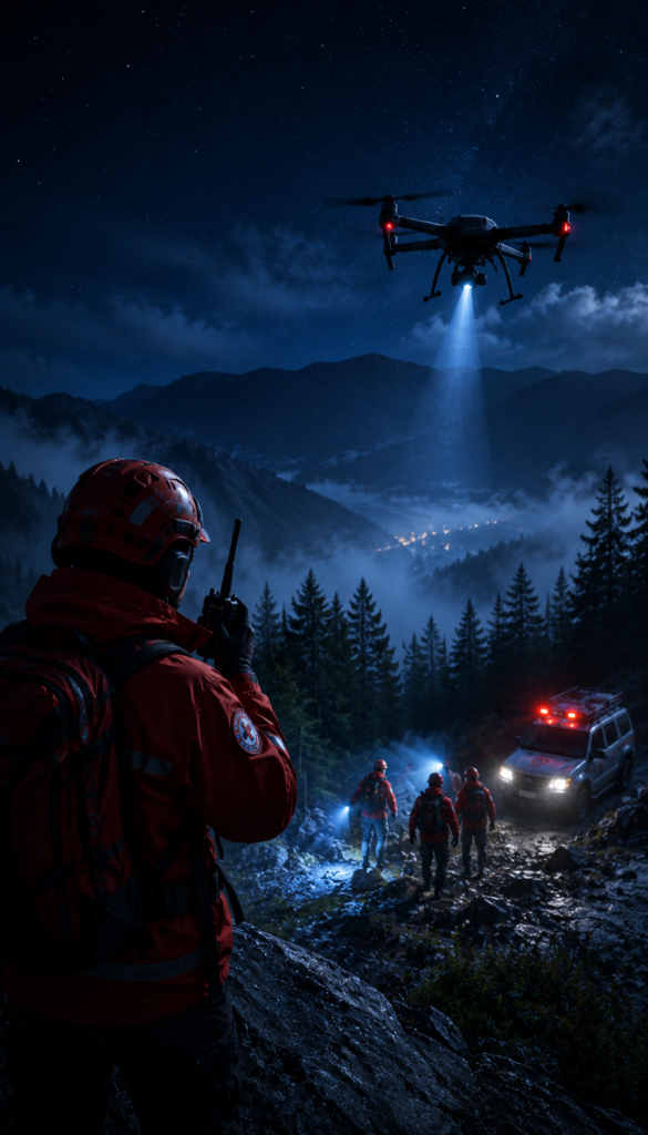
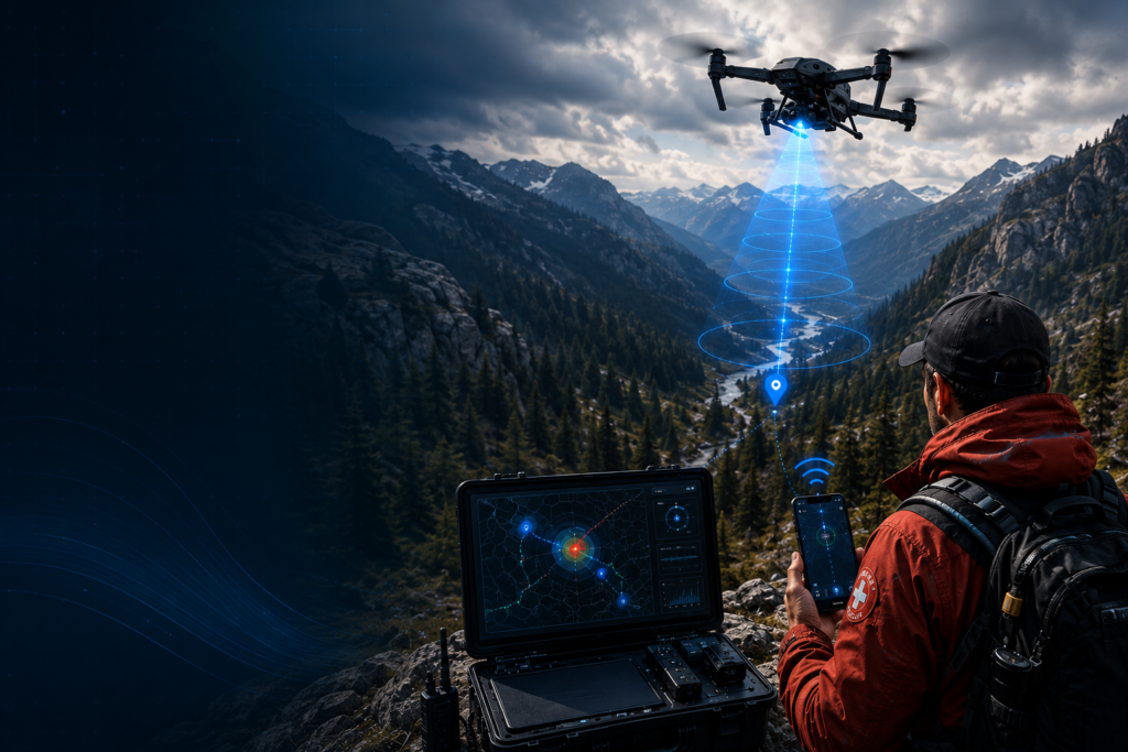
The X·SAR Technology enables field teams to detect and locate missing individuals even when they are silent, injured, or hidden beyond traditional line-of-sight limitations, using advanced RF signal detection capabilities.
Mobile System
Available as X•SAR Terrain for Rural & Remote Environments, and X•SAR Urban for Close-Proximity Operations.
Mobile System
- Drone / UAV Compatible
- Field Searchers Handheld
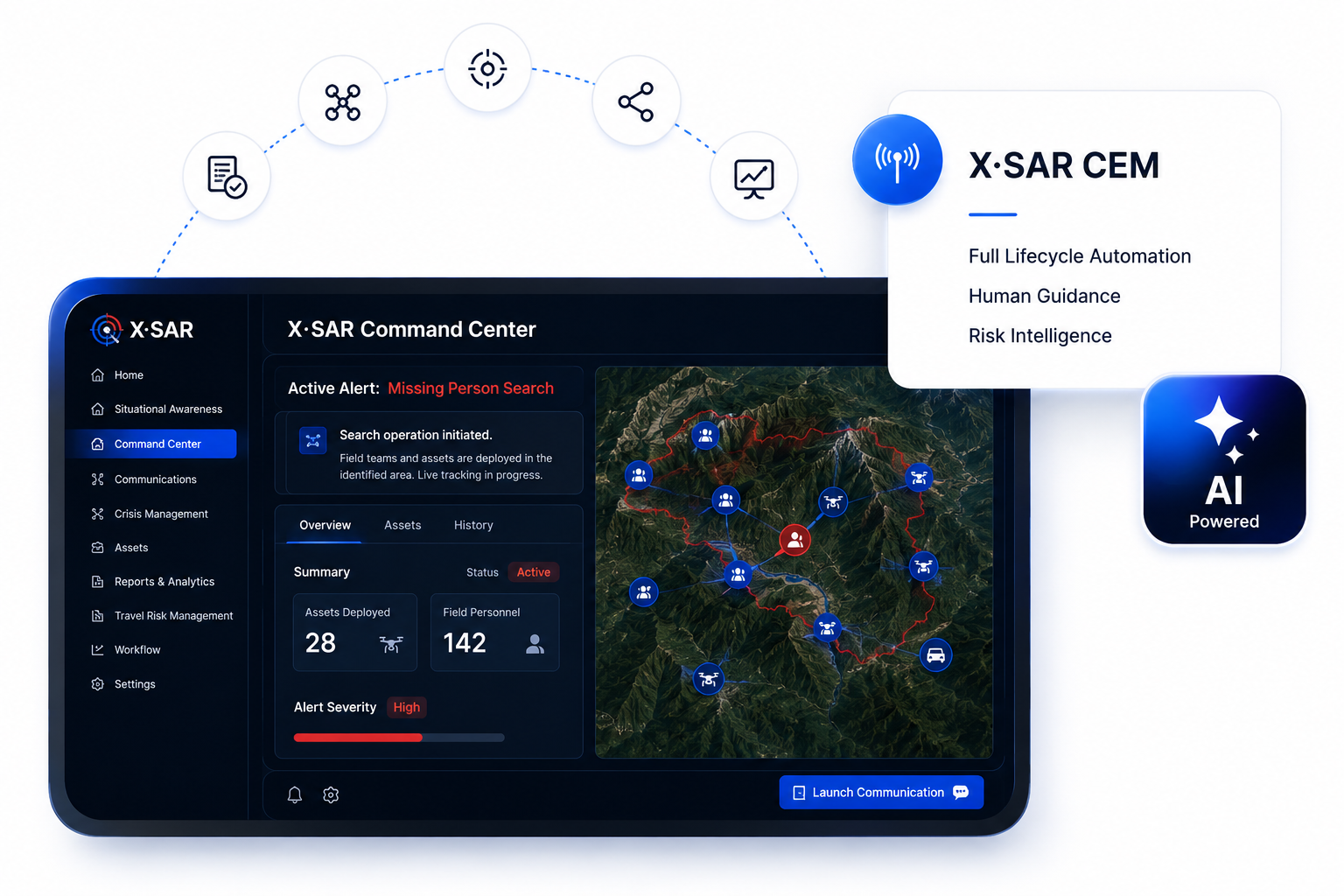
Command Dashboard
Enables Drone / UAV operators to remotely manage airborne X•SAR systems with live mission data, signal analysis, and operational control.
Supports field team leaders with real-time monitoring of one or multiple X•SAR mobile systems deployed as part of Search & Rescue equipment.
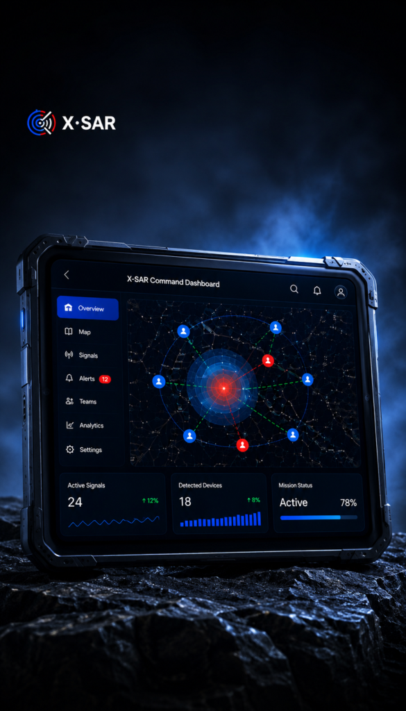
Oversight Platform
Coordinate drone and ground teams through one operational Oversight Platform. Delivering real-time mission intelligence and RF data unified in one intelligent dashboard.
X•SAR guides responders toward compatible RF signals before
visual confirmation is possible.
Delivering dynamic RF guidance while responders are moving.
Detects Beyond Visual Search
- Finds people hidden by dense vegetation.
- Works in forests, bushes and tall grass.
- Detects individuals in ravines or behind rocks.
- Useful in collapsed buildings.
Less Dependent on Visibility
- RF localization where visibility is compromised.
- Smoke from wildfires or industrial incidents.
- Independent of sunlight or ambient lighting.
- Effective in darkness without illumination.
Detect Before Visual Confirmation
- Live directional bearing to detected devices.
- Continuous AI-Powered signal strength analysis.
- Real-time AI-driven navigation assistance.
- Confidence scoring for search prioritization.
Increase Responder Safety
- Reduce unnecessary manual searching.
- Prioritize areas with compatible RF detections.
- Minimize exposure to unstable terrain.
- Enhance team coordination during complex missions.
Detect Existing Consumer Devices
- Smartphones, smartphones that are 95% BLE enabled.
- Earbuds, headphones, hearing aids, navigation.
- Chest straps, smart rings, safety and fitness trackers.
- BLE enabled wearables, 75% to 95% user base.
Intelligent Search Guidance
- Live directional localization with bearing estimation.
- GPS mapping with signal confidence analysis.
- AI-assisted continuous localization updates.
- Mission progress monitoring with search visualization.
Air-to-Ground Coordination
- Reduces unnecessary drone flight time.
- Drone operators can control their Mobile System.
- Transfer live localization directly to Command App.
- Share live RF intelligence with Incident Command.
Live Mission Intelligence
- Receive AI-powered localization updates.
- Visualize responder locations alongside drones.
- Uninterrupted localization transition from air to ground.
- Navigate directly toward live RF detections.
Live Oversight Dashboard
- Correlate detections from drones and responders.
- Identify the strongest RF signal direction.
- Visualize completed and active search areas.
- Multi-team and mission progress monitoring.
Integrates seamlessly with existing SAR Drones and Smartphones to add an entirely new RF intelligence layer.
- Detect compatible RF signals beyond visual search limitations.
- Reduce search visual blind spots
- Improve search efficiency across remote and inaccessible terrain.
- Deliver live RF intelligence directly to the command dashboard.
Available for Field Operators and Drones / UAV’s